The Abinger Roughs is an area of open heathland, grass and woodland, which is owned and maintained by the National Trust.
The walks here are accessible from several locations, from Hackhurst Lane, the A25 Guildford Road, and White Downs Lane, where there is a small free carpark.
There are marked trails around the area, and some suggested routes have been marked on the map below. There are several benches to stop at for a rest or a picnic, with some lovely views south towards the Hurtwood, and north over the North Downs way.
Dogs can be let off the lead for the majority of the walk, but there are a few areas where livestock may be grazing and care should be taken. These are highlighted on the map below.
Although the area is not adjacent to any roads, there are tracks which are regularly used by farm vehicles, so keep your ears open for these.
Some interesting sites to look out for include Leasers Barn and the Wilberforce Memorial close to the carpark, and a pill box from WW2 which can be seen looking up towards the North Downs Way.
A slight detour down Hackhurt Lane towards the A25 will bring you out at the Abinger Arms, a friendly local pub in Abinger Hammer.
View Abinger Roughs in a larger map
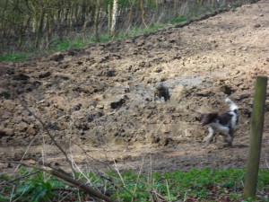
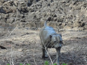
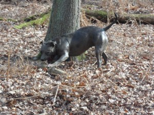
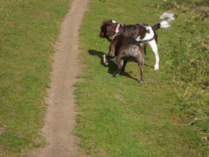
Meg and Cherry often enjoy walks around Abinger Roughs, here are some photos of their adventures!
 |
|
 |
 |


